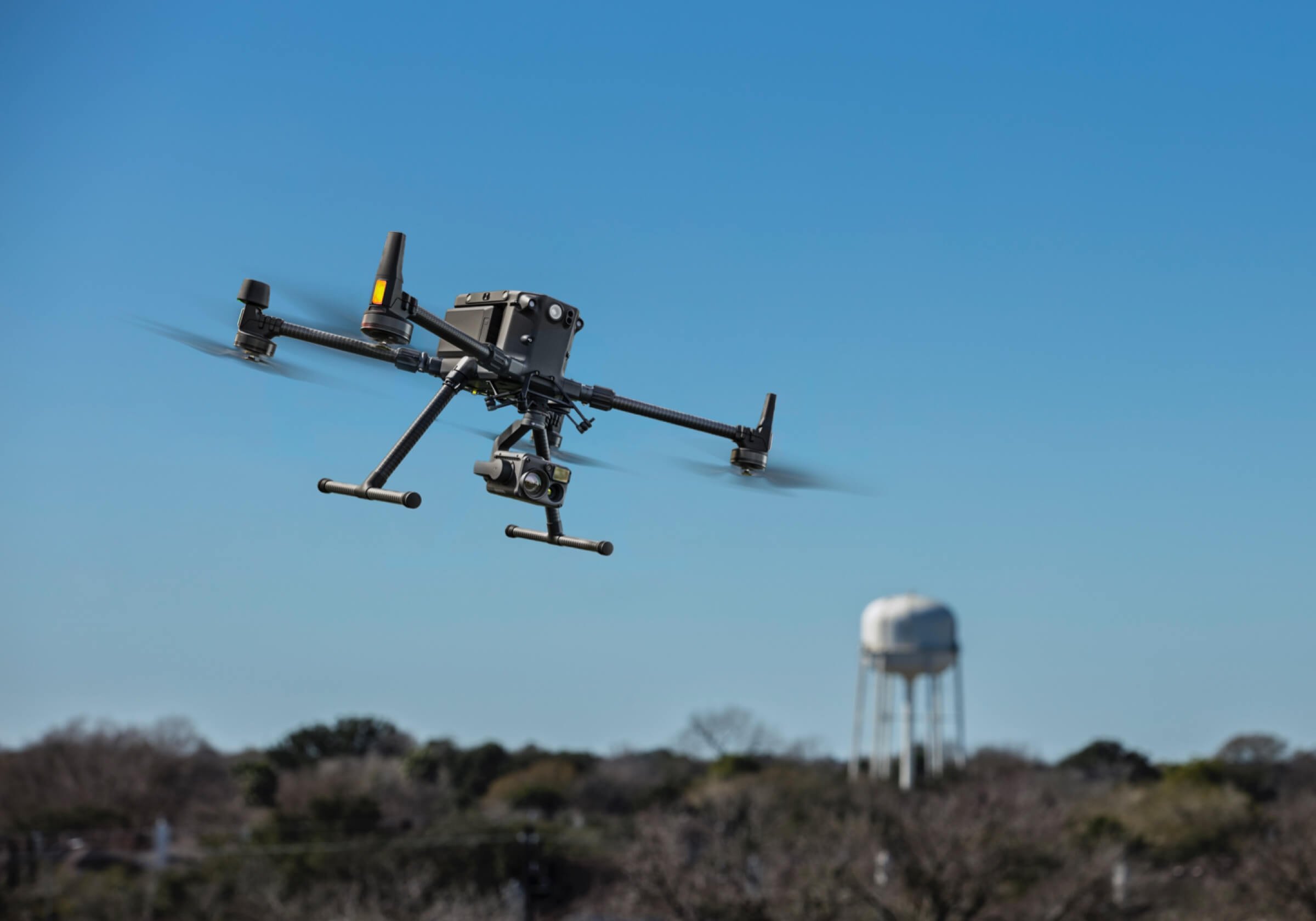
Agricultural Surveying
Unlock smarter farming with multispectral drone technology, designed to deliver detailed insights into crop health, soil variability, irrigation efficiency, and early pest or disease detection—well before issues are visible to the naked eye.Using high-resolution, multi-band imaging, our multispectral drones capture data across near-infrared (NIR), red edge, and visible spectrums. This allows Australian farmers to assess plant vitality, optimise fertiliser use, and manage inputs with pinpoint precision.Whether you're operating a broadacre farm, vineyard, orchard, or greenhouse, multispectral drone surveys help: Improve crop performance through data-driven decisions, Reduce fertiliser, chemical, and water usage, Detect disease and pest pressure early, Maximise yield potential, Enhance sustainability and environmental compliance. Turn aerial data into measurable results with our advanced precision agriculture drone services.
At Australian Agricultural Drones, our Drones equipped with multispectral sensors provide early detection of crop stress, enabling targeted treatments that boost yields and lower input costs. These drones are a powerful tool for any farm focused on precision agriculture and sustainable farming practices.Crop Health Monitoring: Multispectral imaging detects plant stress, disease, and nutrient deficiencies before they are visible, allowing for faster, more effective intervention.Efficient Use of Resources: Identify exactly where to apply water, fertilisers, and pesticides—reducing waste, lowering input costs, and minimising environmental impact.Improved Yield Forecasting: Access reliable data to support accurate yield predictions, improving harvest planning and market readiness.Targeted Farm Management: Gain actionable insights with high-resolution aerial imagery, helping you focus treatments only where needed to maximise efficiency.Smarter Decision-Making: Make informed decisions on planting, irrigation, and crop rotation using real-time, data-driven insights from the field.Time-Saving Surveys: Quickly survey large properties with comprehensive aerial coverage, delivering faster results than manual field scouting.
RATES AND FEESAt Australian Agricultural Drones, we offer flexible and competitive pricing for multispectral imagery surveys tailored to the specific needs of Australian farmers and agribusinesses. Pricing depends on the size of the area, survey complexity, and location.Standard Pricing:Base Rate: From $15 per hectare, with discounted rates for surveys over 100 hectaresData Processing: $150 per hour for post-processing and file preparationTravel Rates:$2.00 per km (road travel)$150 per hour + ticket cost (air travel)
We offer discounts for returning clients and season-long survey packages for regular crop monitoring or large-scale contracts.You’ll receive fully processed multispectral imagery and data, which can be delivered directly to you or forwarded to your agronomist, crop consultant, or GIS professional for further analysis.Note: While we supply detailed imagery and NDVI data, we do not provide agronomic advice or interpretation.
We provide aerial imagery, 3D mapping, and data collection using drones, we are not licensed Surveyors. Our services are for informational purposes only and should be used in conjunction with professional Surveyors not as a substitute for professional Surveying. For certified Surveyor services or expert opinions, please consult a qualified Surveyor, Engineer or Agronomist with our aerial images.