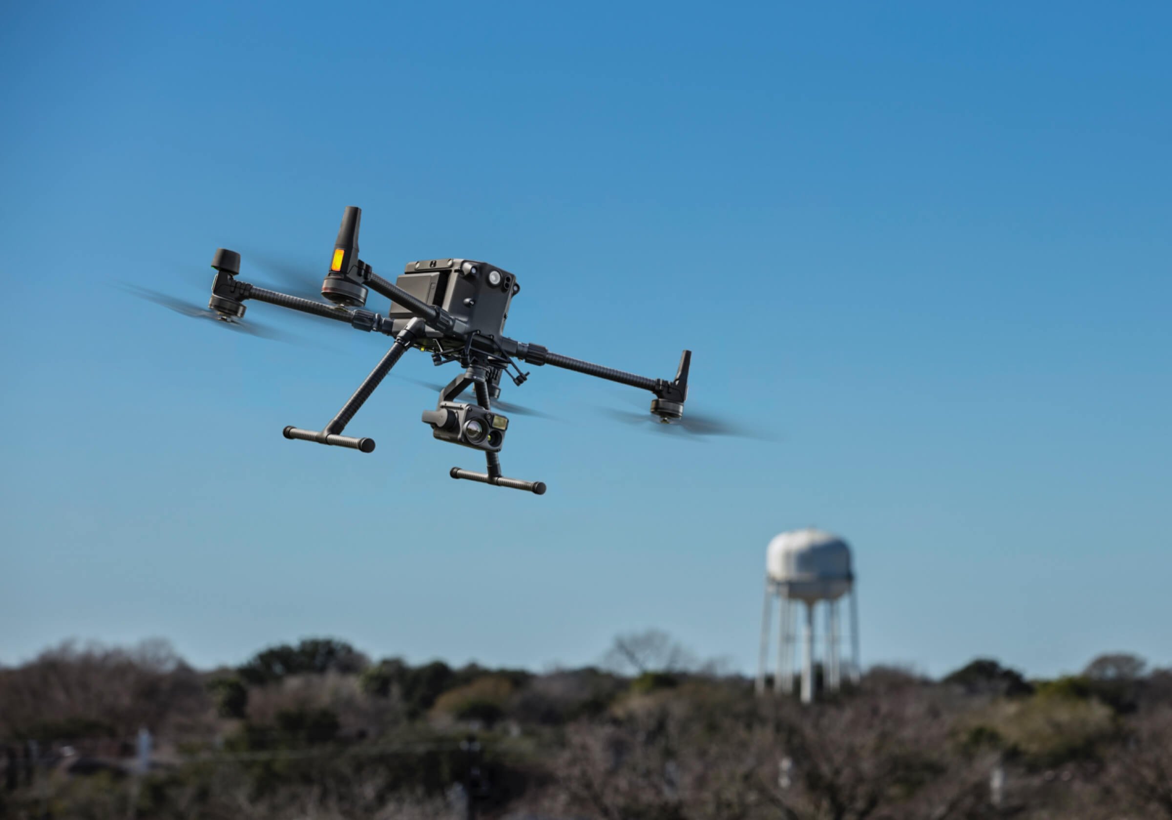
Industrial Surveying
Transform the way you inspect and manage industrial and energy sites with cutting-edge Drone Surveying Solutions. Our drone services provide fast, detailed, and cost-effective aerial data—helping you make smarter decisions, reduce operational risks, and optimize performance.Whether you're overseeing pipelines, power lines, wind turbines, solar farms, refineries, or construction projects, drones offer:
Our drones enhance industrial surveying by providing faster, more accurate data collection, improving decision-making, and reducing operational costs and safety risks. Some other major benefits are:High-Resolution Data Collection: Photographic drones provide detailed, high-resolution imagery for accurate mapping and analysis of large areas.3D Modelling and Mapping: LiDAR drones create precise 3D models and topographic maps, aiding in detailed site analysis and planning.Efficient Surveying: Rapid data collection over extensive areas reduces time and labour compared to traditional methods.Improved Accuracy: LiDAR technology offers precise measurements of elevation and distance, enhancing the accuracy of surveys.Enhanced Decision-Making: Detailed visual and spatial data supports better planning, risk assessment, and decision-making for projects.Cost Savings: Reduces the need for manual surveys and lowers overall project costs by streamlining data collection and analysis processes.Access to Hard-to-Reach Areas: Drones can survey difficult or hazardous locations safely and effectively, minimising risk to personnel.
RATES AND FEESThe cost of photographic or LiDAR surveying for industrial projects typically ranges from $1,000-10,000 per day, depending on factors such as the complexity of the site, the level of detail required, and the type of cameras and drones used. For larger or more complex projects, costs may also be calculated per-Hectare, with prices varying based on the size of the area surveyed. Alternative pricing may also apply for projects that require specialised equipment or extensive post-processing of the data.The fees charged for industrial surveying are usually a fixed day-rate based on the complexity of the task and equipment required; along with the Preparation, Flight and Processing time.We provide the customer with the processed data or we can forward the data to a third party Engineer or Surveyor to further extrapolate the images. We only provide imagery, we aren't qualified to provide the customer with any recommendations or advice. Please inquire with us and we will provide you with an obligation free quote and complimentary site visit for your continence. We provide aerial imagery, 3D mapping, and data collection using drones, we are not licensed Surveyors. Our services are for informational purposes only and should be used in conjunction with professional Surveyors not as a substitute for professional Surveying. For certified Surveyor services or expert opinions, please consult a qualified Surveyor, Engineer or Agronomist with our aerial images.