Rates and Fees
Drones can significantly reduce costs for Australian farmers and commercial industries by enhancing the efficiency and precision of surveying and aerial application, leading to optimised resource use and minimised waste. This improved accuracy in targeting and monitoring ultimately translates to increased productivity and cost savings.
Our rates and fees are subjective depending on the unique requirements of the service required. However, we do not charge call-out or travel fees within 200km of Brisbane, we also don't charge equipment cleaning fees or administration fees.

Agricultural Application
Our aerial application fees are a transparent a fixed rate service. Aerial applications fees are based on dollars-per-(L/KG)-per-Hectare. The current MAXIMUM standard liquid application rate is $1.00 per L per Hectare.The current MAXIMUM standard solid application rate is $1.25 per Kg per Hectare.EXAMPLE: If you require 40L of liquid product per Hectare this will equal to $40 per HA. Spot spraying or small task are charged out at an hourly rate of $250 p/h.Discounts will apply for task over 10 Hectare. We also offer returning customer discounts. Contact us via email for an accurate quote. We don’t supply liquid or solid chemical products and these must be provided by the customer, we can however mix the chemical according to the product's specifications. 
Agricultural Surveying
The cost of multispectral imagery surveying of farms can vary widely depending on factors such as the size of the area surveyed, the level of detail required, and the region. On average, prices are typically $15 p/ha, however this can fluctuate based on specific project needs. We charge a $100 p/h preparation fee, however this is waved for future surveys on the same paddock, and a $100 p/h processing fee. We offer returning customer discounts for regular surveys throughout the growing season or for large contracts. Surveys over 100 ha receive a reduced rate.We provide the customer with the processed data or we can forward the data to a third party Agronomist or Surveyor to further extrapolate the images. We only provide imagery, we aren't qualified to provide the customer with any recommendations or advice, however we will talk the customer through the image and point out healthy and unhealthy crops. 


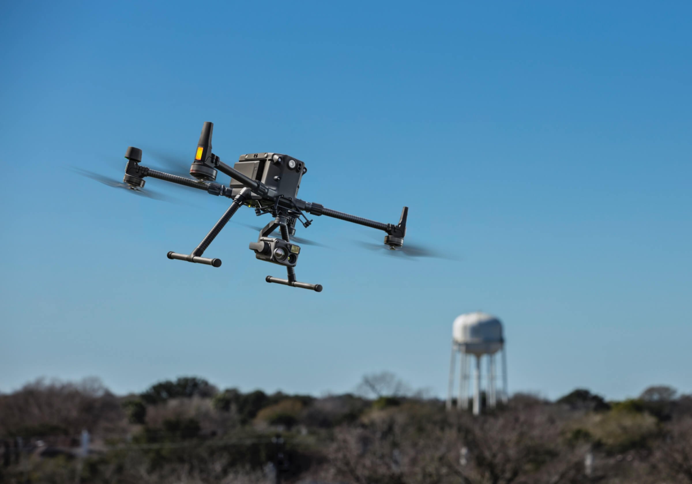
Industrial Surveying
The cost of photographic or LiDAR surveying for industrial projects typically ranges from $1,000-10,000 per day, depending on factors such as the complexity of the site, the level of detail required, and the type of cameras and drones used. For larger or more complex projects, costs may also be calculated per-Hectare, with prices varying based on the size of the area surveyed. Alternative pricing may also apply for projects that require specialised equipment or extensive post-processing of the data.The fees charged for industrial surveying are usually a fixed day-rate based on the complexity of the task and equipment required; along with the Preparation, Flight and Processing time.We provide the customer with the processed data or we can forward the data to a third party Engineer or Surveyor to further extrapolate the images. We only provide imagery, we aren't qualified to provide the customer with any recommendations or advice. Please inquire with us and we will provide you with an obligation free quote and complimentary site visit for your continence. Sales and Servicing
Drone Maintenance and Servicing: Drone Maintenance and Servicing is $100 per hour less parts, parts are stocked and charged at retail with no mark-up.$150 cleaning fee for drones that are dirty or have residual chemical in them.Off season annual inspections are recommended and usually take 2 hours if no faults are found, transport of the drone is the customers duty.
Drone Sales:For customers beyond 200km of Brisbane:Shipping will be via road freight and usually cost between $500-1000 on the east coast, you’re welcome to organise your own freight.Unfortunately the 1 day of setup and training is unavailable, however you’ll still receive free 24/7 phone customer support.
Additional Fees and Discounts
Additional Fees and Charges include: Urgent call out fee of 10% - when services are required within 24 hours notice.Travel expenses for travel beyond 200km of Brisbane - For road travel, this will include fuel usage, plus $100 per hour for time travelled. For air travel, this may include reimbursement or purchase of airline tickets and rideshare/car hire, fuel usage, plus $100 per hour rate for time travelled.
Discounts include:Retuning customer discount of 10% - We offer this for aerial application and surveying.We will offer attractive, adjusted prices for large surveying or application jobs above 10 Hectare. Road travel expenses may also be waved for large jobs just outside of our 200km boundary. Contact us via email for an accurate quote.
We provide aerial imagery, 3D mapping, and data collection using drones, we are not licensed Surveyors. Our services are for informational purposes only and should be used in conjunction with professional Surveyors not as a substitute for professional Surveying. For certified Surveyor services or expert opinions, please consult a qualified Surveyor, Engineer or Agronomist with our aerial images.